There is a road running west out of Cascade that most people drive without knowing it has a name. County Road A is part of the Kettle Moraine Scenic Drive, a designated route that runs 115 miles through six counties, linking the two units of the Kettle Moraine State Forest from Whitewater in the south to a point near Elkhart Lake in the north.
The official route map tells you where it goes. It does not tell you where to stop, which is the only thing anyone actually needs. This does.
What the drive is, and where it runs
The route follows county and local roads rather than a state highway, which is why the signage is modest and why so many people drive stretches of it by accident. It traverses Walworth, Jefferson, Waukesha, Washington, Fond du Lac and Sheboygan counties.
The southern end sits near Whitewater. The northern terminus is up near Sheboygan County's Broughton Marsh Park, north-west of Elkhart Lake. The stretch covered here is the northern one, through the Northern Unit, which is the section Cascade sits on.
Where to join it from Cascade
Take County Road A west out of the village. That is the scenic drive. No turning, no hunting for a trailhead sign, no app required.
Within five miles you are in the forest. This is the single most useful orienting fact for anyone basing in Cascade, and it is not written down anywhere else.
What to expect of the road itself
It is a normal county road. Two lanes, farm traffic, tractors in season, and no shoulder to speak of in most places. There are no scenic pull-offs built for the purpose, which surprises people expecting something engineered.
That means stopping is opportunistic. Car parks at the recreation areas and trailheads are the reliable places to leave a vehicle. Everywhere else you are pulling onto grass, and in wet months that is a decision rather than a manoeuvre.
Mobile coverage drops in the low ground between the hills. Download the route before you set off rather than assuming you can look it up halfway.
The stops worth pulling over for
Going west and north from Cascade, in the order the road gives them to you.
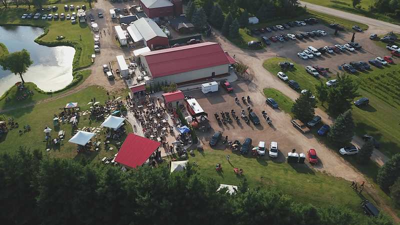
A little further west on the same road, SoLu Estate makes wine and mead on the property and runs live bands most weekends in season. It is the only winery on this stretch.
North on County U, a quarter mile west of County A, a set of steps climbs to a sixty-foot wooden tower on the highest ground in the forest. Twenty-five miles of view on a clear day, picnic tables and vault toilets at the car park, and a 3.5-mile purple loop if you want to walk rather than climb and leave. The tower at the high point is the single best stop on the route.
Further along, a Wisconsin historical marker standing on Kettle Moraine Scenic Drive itself commemorates Haskell Noyes Memorial Woods. It takes two minutes and it is the sort of thing you pass a hundred times without reading.
Roadside markers are a genuine feature of this route rather than an afterthought. Wisconsin has been putting them up since the 1950s and the ones out here record the glacial story, the plank roads and the settlements that did not last. Reading two or three of them across a half day gives you more of the area than any single museum would.
West of the route's middle, Spruce Lake Bog is a State Natural Area with a boardwalk you can walk in trainers, holding plant communities left behind by a colder climate.
A little further on, Dundee Mountain rises off the road as a glacial kame with a short summit trail. It is the clearest example of the landform anywhere on the route, with a summit trail of about a mile to the top.
Dundee also carries a long-running local association with UFO sightings, which the village has leaned into rather than played down. Whether that is a reason to stop is between you and your passengers.
Where the road meets the walking
The Ice Age National Scenic Trail runs thirty-one miles through the length of the Northern Unit, and the scenic drive crosses and parallels it repeatedly. If you want to break the drive with a walk rather than a photograph, the trailheads are the places to do it.
The Parnell Tower loop is 3.5 miles and the one most people do. Greenbush, at the northern end, holds 13.5 miles of trail and the mountain bike network. Zillmer in the middle has 11.4 miles, Butler Lake 3, and the Tamarack Trail 2 if you want twenty minutes rather than an afternoon.
Five three-sided backpack shelters sit along the Ice Age Trail inside the unit, reservable through the Wisconsin DNR. They are the reason some people arrive on this road and leave on foot.
The glacial shapes, and how to read them at thirty miles an hour
The moraine is a landform you read better from a car than on foot, because you cover enough ground to see the pattern repeat. Three shapes account for nearly all of it.
A kettle is a hole. A block of ice broke off the retreating glacier, got buried, and melted out, leaving a depression that often filled with water. Most of the small lakes here are kettles.
A kame is a mound. Meltwater poured down a crack in the ice carrying sediment, which piled up beneath, and the pile was left standing when the surrounding ice went. Dundee Mountain is the obvious one on this route.
An esker is a ridge. A river ran in a tunnel under the ice and dropped gravel along its bed, and when the ice melted the riverbed was left standing above the ground either side. The Parnell Esker is the one worth looking for.
Once you can name the three, a field stops being a field.
Riding it instead of driving it
The route is popular with motorcyclists for the obvious reason, which is that a hundred and fifteen miles of curving county road through hills is exactly what a Sunday ride wants. Expect groups of them on a fine weekend.
Cyclists use sections of it too, though the lack of shoulder makes the busier stretches less pleasant than the map suggests. The Lake to Lake Bike Trail runs 6.5 miles between Mauthe Lake and Long Lake off the road entirely, which is the better option on two wheels if you want distance without traffic.
In winter the road stays plowed and open. The snowmobile trail network in the forest runs separately, so the two do not compete.
How long it takes and when to go
The northern section through the unit is a comfortable half day with stops, or a full day if you climb the tower and swim. The whole 115 miles is a long day and most people never do all of it.
October is the season, for the same reason it is the season everywhere in the Kettle Moraine: the hardwoods turn and the drive becomes the point rather than the transport. Expect company on the first two weekends of the month.
Winter keeps the road open and empties it. Spring is the weak one, when the low ground is wet and the view is bare without being dramatic.
A half day on the northern stretch, in order
Starting from Cascade and heading west then north, this is the sequence that works without doubling back.
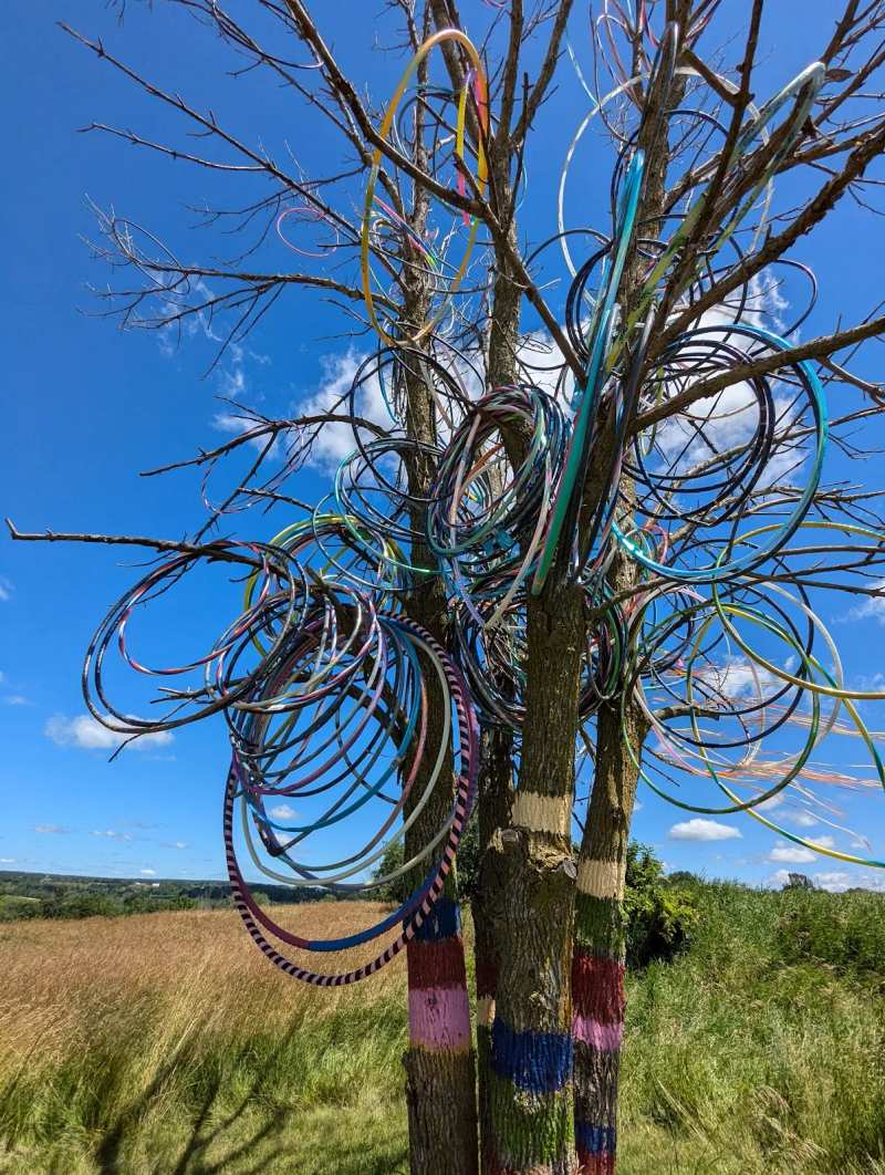
- County F west out of the village to the hula hoop tree. Five minutes.
- SoLu Estate, a mile and a half on, if it is open and there is a band.
- North to County A, then County U for Parnell Tower. Climb it, and walk the loop if you have the morning.
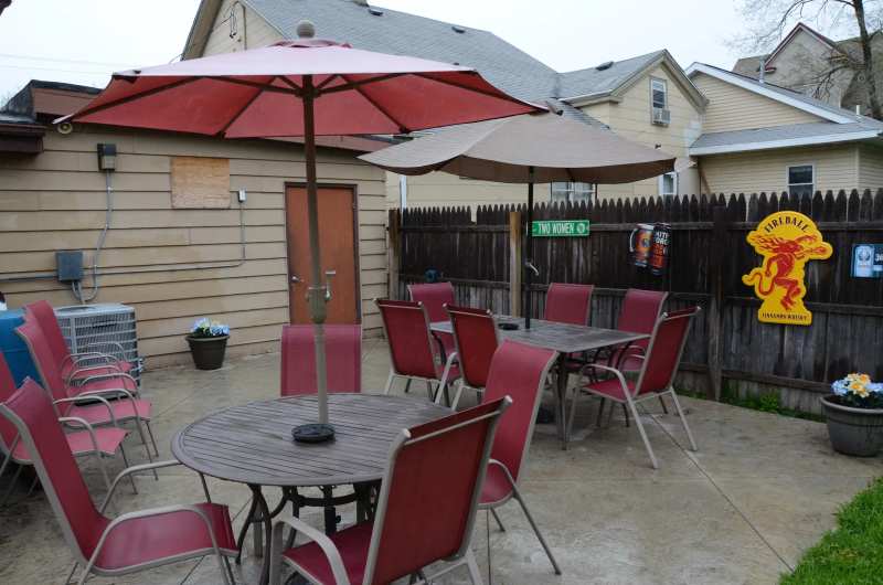
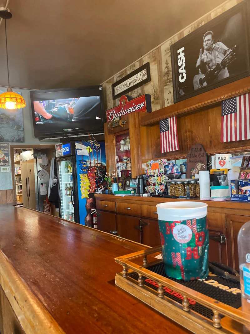
- Parnell Tavern at the A and V crossroads for lunch. There is no second option.
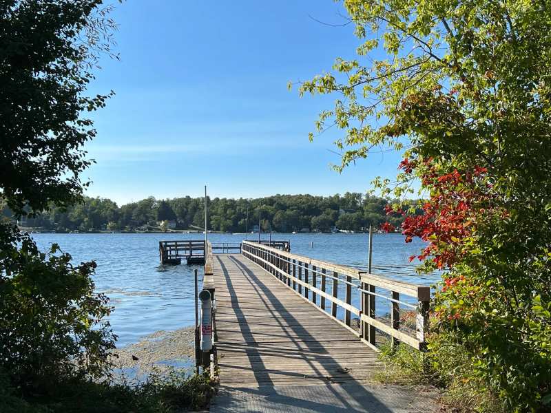
- West and south to Long Lake for the beach, or Mauthe Lake if you would rather paddle.
- Spruce Lake Bog boardwalk on the way back if the weather turned.
That is four or five hours with stops, and it covers the part of the route Cascade actually sits on. The other hundred miles are a different day.
What is at the north end
Keep going north-north-west and the route takes you within reach of Greenbush, where an 1849 plank-road stagecoach inn stands on 240 acres with a carriage museum attached. The one genuine museum on the whole northern stretch is the stagecoach inn at Greenbush, and its winter hours drop to Saturdays only.
The forest the road runs through, lakes and trails and visitor centre included, is laid out in the forest the road runs through.
And if you are starting the drive rather than finishing it, there is fuel, food and a bed in the eastern end of County A at the eastern end of County A.
Frequently asked questions
Published August 17, 2026